Upcoming Events, Reports, and Other News
- Gulf of Maine Council Recognizes 2026 Award Winners in St. Andrews, New Brunswick
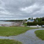
- Acadia National Park Stream Crossings Assessed for Erosion Potential and Flood Vulnerability
- RARGOM Annual Science Meeting Set for November 4, 2026
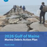
- NOAA Releases New Gulf of Maine Marine Debris Action Plan
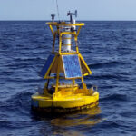
- 2025 Gulf of Maine Temperature Report Now Available
- GOMC Accepting Award Nominations through March 13, 2026
- Nova Scotia and Massachusetts Sign Agreement on Offshore Wind
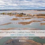
- New Hampshire Updates Coastal Flood Risk Summary
- ACCESS/BoFEP Conference Set for May 2026
- New Brunswick Launches State of the Coast
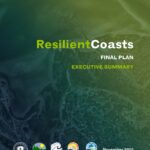
- Massachusetts Releases ResilientCoasts Final Plan
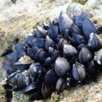
- Blue Mussel Samples Available for Gulf of Maine Research
- Ocean and Coastal Acification Monitoring Priorities for Northeast US and Eastern Canada
- CLIMAtlantic Coastal Adaptation Toolkit